Local Sites of geodiversity importance are designated by the Norfolk CGS Group, a sub-committee of the Geological Society of Norfolk. CGS (meaning County Geodiversity Sites) is a local rather than a regional designation, and has the same status in planning as County Wildlife Sites. Designation involves surveying geodiversity features of interest, and gaining voluntary agreement with the land owners / managers on beneficially managing those features to retain or enhance their interest. It does not confer any right of public access.
Norfolk has 7 designated CGS, as follows.
Breckland District
- Newton by Castle Acre Chalk Pit. NGR TF837149. An active quarry displaying Cretaceous Chalk of the Coniacian Stage.
- The Village Stone, Great Hockham. NGR TL95309257. Large glacial erratic boulder ritually turned over to mark notable events in the life of the parish.
Broadland District
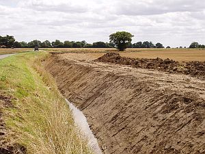
- Pinebanks Pit, Thorpe St Andrew. NGR TG261089. A disused gravel pit exposing glacial and/or Crag sands, with educational potential.
North Norfolk District
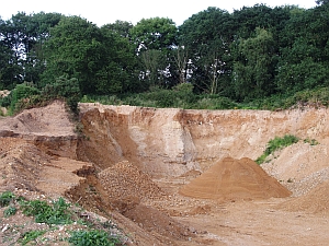
- Rising Hill Pit, Letheringsett With Glandford. NGR TG033404. Disused quarry with good exposures of Pleistocene glacial outwash sands, gravels and till.
- Hempton Quarry. NGR TF904284. Partly landfilled former quarry, exposing Pleistocene glacial sediments.
Extending the network
383 candidate County Geodiversity Sites (cCGS) have been identified in Norfolk through an audit commissioned by the Norfolk Geodiversity Partnership. Its purpose is to provide baseline information for planners and land managers and planners as well as suggesting candidate sites for possible designation.
OR visit the Norfolk Geodiversity Partnership's website HERE.
Norfolk Geodiversity Partnership leaflet is available HERE
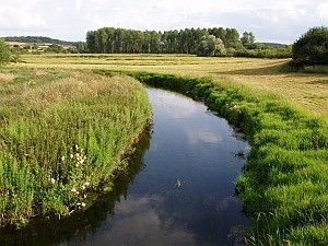
Many features of geodiversity interest exist in the wider landscape outside the network of nationally and locally designated sites. There are especial concentrations in Norfolk’s river valleys and the Norfolk Coast AONB.
For information on Geodiversity Sites within the Local Sites context, please download the Local Sites Handbook